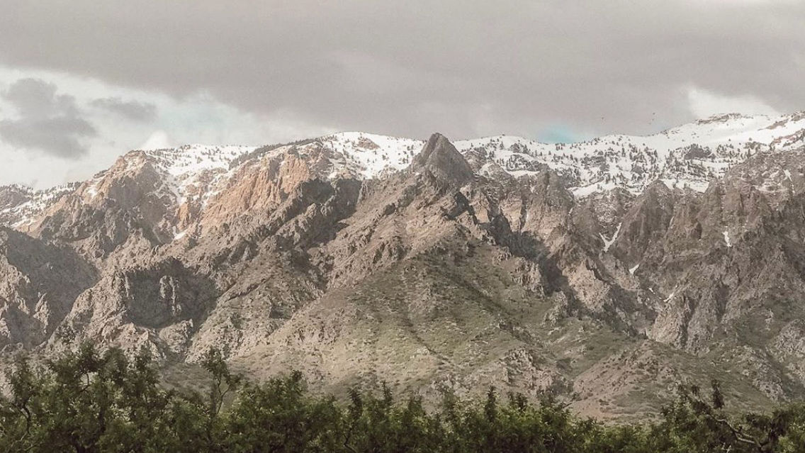
Did you know? The watersheds of the Wasatch harbor incredible scenery and as such attract a huge number of visitors.Visitors and residents alike should understand and respect the watershed rules to safeguard both the quality of our water and minimize negative impacts to our mountain habitat
As we near the fall season and the start of the semester, many of you will be enjoying the watersheds in the Wasatch Mountains adjacent to Salt Lake City. These areas provide our drinking water and contain sensitive habitats important to protect. And they are among the most scenic areas around with boundless opportunities to recreate. Given our busy lives we sometimes forget about the canyons or we never took time to learn about them. The following information is provided to help remind you about the canyons and give you some fun facts to learn and share.
City Creek Canyon
Did you know City Creek’s Native name is Nah-po-pah and was the primary water supply for drinking, crop irrigation, and power to run grist, saw, turning, cording, and woolen mills until 1882? Now it continues to provide drinking water to northern parts of Salt Lake City.

Red Butte Canyon
Did you know Red Butte Canyon is the smallest canyon in eastern Salt Lake County?
The upper watershed is in relatively pristine condition and has been historically managed by the U.S. Forest Service as the Red Butte Research Natural Area. Red Butte reservoir is refuge to endangered fish, the June sucker.

Mill Creek Canyon
Did you know Mill Creek was named before all of the mills that were built in the densely forested canyon? Like other canyons, this is popular for recreation especially for biking and hiking with dogs.

Emigration Canyon
Did you Emigration Canyon is named as it is because it was the original route of the early Mormon Pioneers into the Salt Lake Valley? It is on July 23, 1947 that Brigham Young looked across the valley and declared "This is the right place...carry on!”

Parleys Canyon
If you have traveled from the Salt Lake Valley to Park City, Utah then you have traveled through Parleys canyon. Did you know this canyon became the primary route into Utah?
It was also previously called the Big Canyon. It was later named Parleys canyon after a man named Parley P. Pratt who was assigned to survey the canyon.

Big Cottonwood Canyon
Utah is known for the “Greatest Snow on Earth”, so does that mean we have the greatest water on earth? You can find some of the “Greatest Snow on Earth” in Big Cottonwood Canyon. Did you know that although mines could be found in both Big and Little Cottonwood Canyon, Big Cottonwood Canyons mines were not as rich? This caused many mines to close and farming to take its place. This canyon also held most of the wood used to build the Salt Lake Valley in the early years of Pioneer settlements.

Little Cottonwood Canyon
Little Cottonwood canyon is shaped like a “U.” Did you know the shape was carved by a Glacier 15,000 to 25,000 years ago?
This canyon is also where Granite was mined and used to build the historic Salt Lake City Temple by the Church of Jesus Christ of Latter-day Saints.

Why protect Salt Lake City’s watershed areas?
Over 50% of the drinking water consumed by residents of Salt Lake City comes directly from the protected watersheds. Salt Lake City is quite unique in that its population resides so close to its watershed source waters.
In many cities and towns in the mountain west, water must travel tens or hundreds of miles through aqueducts and pipes to reach population centers. Outdoor recreation is a vital way of life along the populous Wasatch Front.
The watersheds of the Wasatch harbor incredible scenery and as such attract a huge number of visitors. Visitors and residents alike should understand and respect the watershed rules to safeguard both the quality of our water and minimize negative impacts to our mountain habitats.
